How we assess air pollution hotspots
ATMOSYS combines advanced atmospheric modelling with emission data and, where relevant, air quality measurements to understand how pollutants are emitted, transported and dispersed in complex environments. Depending on the challenge, we combine high-resolution atmospheric modelling, emission data and air quality measurements to identify pollution hotspots, understand source contributions and assess their impact on local air quality.
Our experts can support both screening-level assessments and detailed site-specific studies, helping authorities and industry understand current air quality, identify the main contributing sources and explore and compare mitigation measures and alternative designs, helping identify effective solutions before they are implemented.
Our modelling tools can be applied to a wide range of pollutants, including particulate matter (PM), UFP, NO2, SO2, VOCs, ammonia, methane and heavy metals.
Typical applications
-
Industrial sites – complex industrial environments with combinations of point, fugitive and diffuse emissions, where buildings, source locations, stack configurations and other site structures can strongly influence local air quality.
-
Ports and airports – complex environments where shipping or aviation emissions interact with road traffic, machinery, logistics and associated industrial activities.
-
Agricultural hotspots – ammonia and other emissions from livestock, manure management and agricultural activities, including local dispersion and deposition.
-
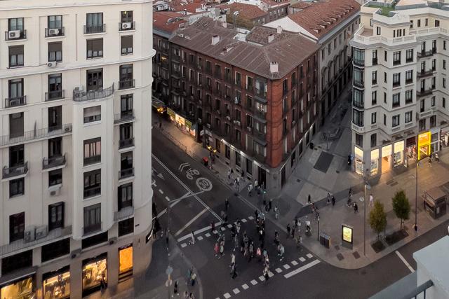
Urban and infrastructure hotspots – highly localised pollution around busy roads, tunnels, street canyons and urban neighborhoods, influenced by residential combustion, traffic and other urban sources, where high-resolution modelling and sensor data can provide greater spatial insight.
Across these applications, ATMOSYS can assess current and future air quality, identify the contribution of different sources, and explore the effectiveness of local mitigation measures and alternative designs before implementation.
Key deliverables
Typical outputs we deliver are:
-
High-resolution air quality and deposition maps – identifying hotspots and spatial variations across a site and its surroundings.
-
Source contribution and source apportionment assessments – determining which sources and activities contribute to local concentrations and background air pollution.
-
Diffuse and uncertain emission estimates – using inverse modelling, measurements and data assimilation where appropriate to better quantify difficult-to-characterise sources.
-
Impact, exposure and regulatory assessments – supporting environmental impact assessments, permitting, compliance and assessment of exposure.
-
Mitigation and design scenarios – comparing emission reductions, operational measures, barriers, vegetation, source or stack configurations, and alternative building or site layouts before implementation.
-
Indoor–outdoor air quality assessments – linking outdoor dispersion with indoor exposure to support building ventilation and HVAC strategies where relevant.
-
Operational site-specific air quality decision tools – combining real-time site measurements, emissions, meteorology and modelling in tailored dashboards to monitor air quality, identify emerging issues and support operational emission management.
Relevant ATMOSYS tools and methodologies
Depending on the application, our experts combine different ATMOSYS modelling tools and methodologies, for more information check out our related products:
-
ATMO-Trace – uses air quality measurements and reverse atmospheric dispersion modelling to trace and quantify uncertain or poorly characterised emissions.
-
ATMO-Street – provides high-resolution urban-scale air quality modelling for assessing concentrations, source contributions and scenarios.
-
ATMO-Flow – provides detailed micro-scale modelling of airflow and pollutant dispersion around buildings, infrastructure and complex sites.