Operational Prediction of Air Quality
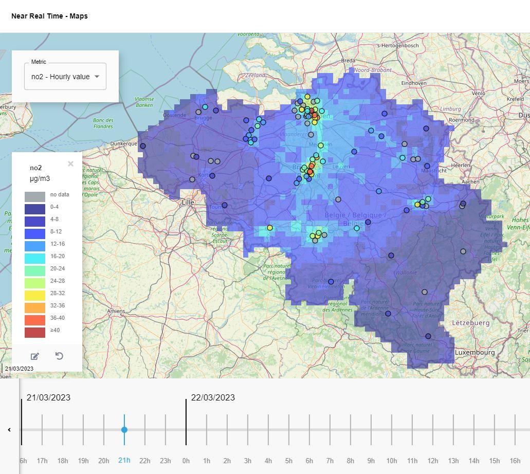
OPAQ maps air pollution by applying intelligent interpolation of air quality observations using spatial proxy data: CORINE land cover data, CAMS air quality data, satellite data, altitude and population density.
OPAQ also includes statistical models that apply artificial and recurrent neural networks are used to forecast air pollution levels in the upcoming days. These models are trained with observations of the air quality monitoring networks, meteorology, CAMS European or worldwide air quality forecasts.
The modelled maps and forecasts are available to view and analyse in operational air quality management dashboards.
A flexible tool with a proven track record
OPAQ is an affordable, low-resource-intensive statistical model-based software that can be hosted at VITO, installed on your infrastructure or in the cloud. OPAQ can either be fully configured for continuous operation or be offered as a flexible Python software package for air quality experts. The maps and data can be offered in user-friendly dashboards.
The models are flexible to be adapted to the available input data. For use in Europe, key data is already openly available to set-up a first version i.e. CEN-approved (publicly available) air quality measurement data, low-cost sensor data and open spatial data.
OPAQ has been successfully applied for forecasting and real-time air pollution mapping for nearly 20 years. The models are operationally used in several EU countries, China and India.


