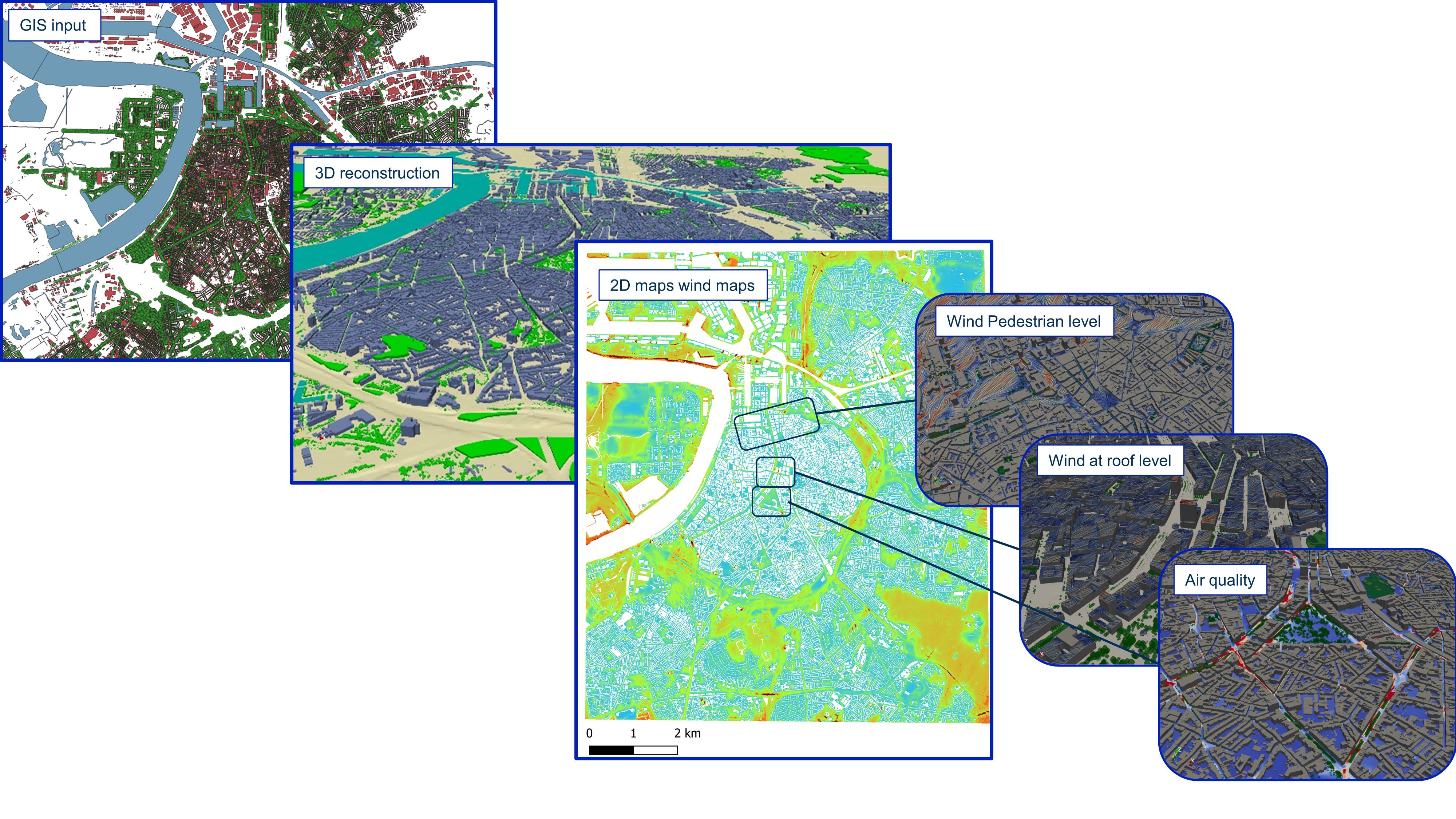
ATMO-Flow: Precision Wind and Air Quality Mapping for Cities
ATMO-Flow generates metre-scale resolution maps of wind patterns, wind comfort, wind energy, and air quality. It incorporates detailed representations of buildings, vegetation and topography, enabling high precision simulations.
The Computational Fluid Dynamics (CFD) framework provides GIS ready outputs but also 3D visualisations, offering insights into wind and pollution patterns at different heights, making it essential for urban planners and environmental assessments.
Key features
- Explicit modelling of obstacle, topography and vegetation at metre-scale resolution.
- Unified tool to predict wind comfort, wind power, wind loading and air quality.
- Evaluation of measures to:
- Improve pedestrian wind comfort.
- Mitigate pollution hot spots and minimize population exposure.
- Optimise the placement of urban wind turbines.
- Mitigate wind related risks.
Applications
- City-scale analysis: Screening for wind comfort, urban wind power potential, air quality.
- Hot spot analysis (street canyon, tunnel outlets): Impact of mitigation measures, such as noise barriers, depressed roads, vegetation barriers, traffic patterns.
- Industry analysis: Emission quantification by means of Reverse Dispersion Modelling (RDM) and analysis of guided and non-guided emissions mitigation.
Overview


